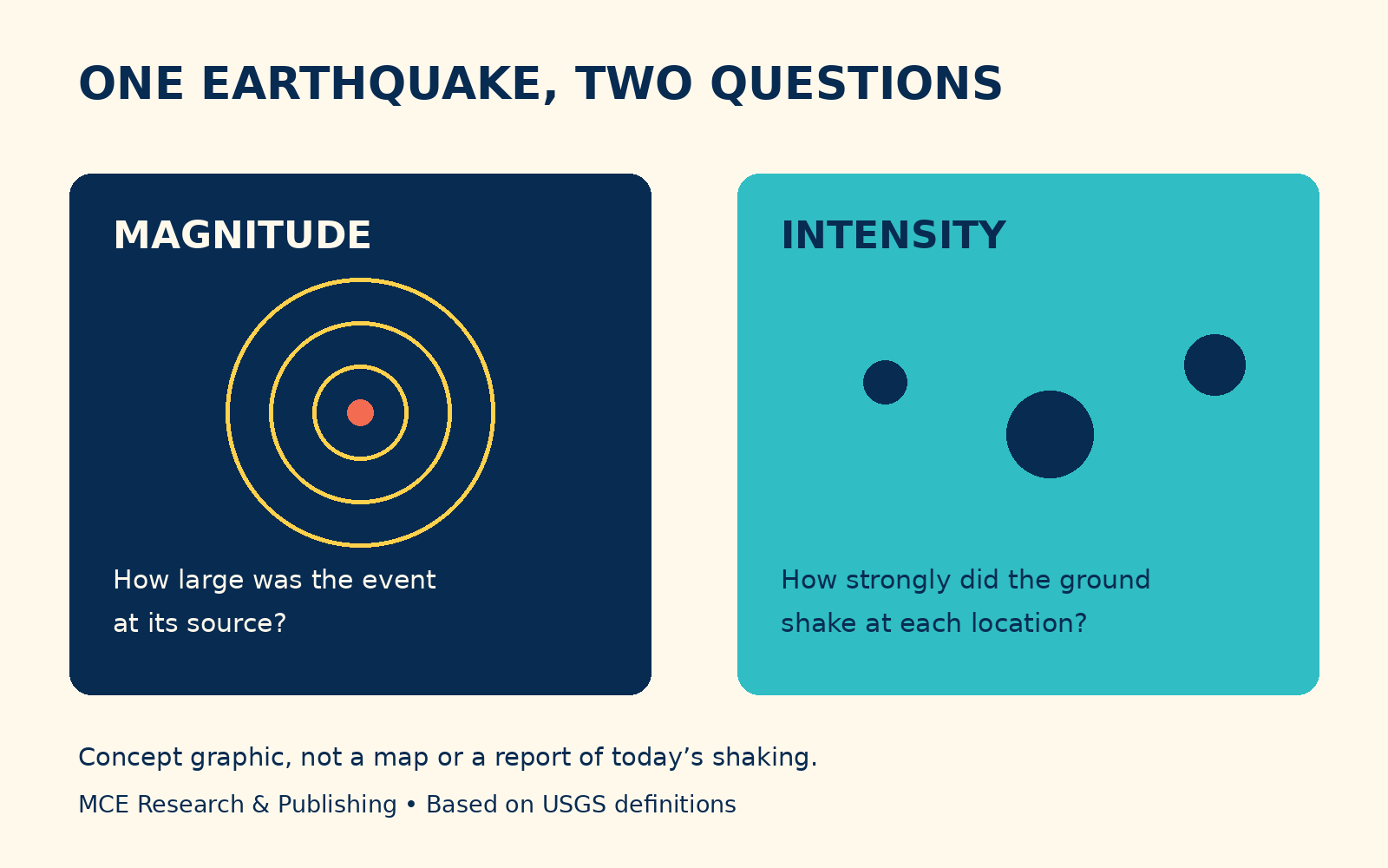
Magnitude and intensity answer different questions. Original MCE concept graphic based on USGS definitions, not a map of today’s earthquake or measured shaking.
To check whether there was an earthquake near you, open the USGS Latest Earthquakes map and compare the event’s location and time with where and when you felt shaking. Review the map’s time window and magnitude filters. For immediate instructions about your area, use local emergency authorities. If shaking is happening now, protect yourself before searching.
The CDC’s guidance for most indoor situations is to drop, cover and hold on, and to stay inside while the shaking continues. A search result is something to consult once you can do so safely.
On November 20, US search interest in “earthquake near me” was elevated. The USGS listing checked that morning included a magnitude 5.0 event near Pinnacles, California, at 06:49 UTC, which was 10:49 p.m. Pacific on November 19. That date difference is a useful reminder to check the time zone. Event estimates can be revised; the live USGS record takes precedence over this article.
Match the event before sharing the number
A screenshot can lose its date, map extent or update time as it travels. Open the original source and look for the place, time and event details. If the map seems empty, check its filters before concluding that nothing happened. An interface displaying only larger earthquakes is answering a narrower question than “Did anything move?”
You can keep a simple note for yourself: where you were, approximately when it happened and what you observed. That is more useful than trying to match your experience to the loudest description in a comment thread.
One earthquake can feel different in different places
Magnitude describes the earthquake’s size at its source. Intensity describes the strength of shaking at a particular location. Distance and local ground conditions are among the reasons intensity varies. Two people can experience the same earthquake differently without either person being mistaken.
The USGS Did You Feel It? program collects public reports to help map those experiences. When you are safely settled, an accurate report can contribute something a forwarded clip cannot: an observation tied to a place.
Neither a magnitude number nor a quiet-looking map certifies that a building is safe. Follow official local instructions about damage, access and any continuing hazards.
For the next person who asks, send the live source link with the event time rather than a cropped image. It gives them a way to check the same record, including anything that has changed since you first looked.
Keep exploring
Explore the Freedom Neighborhood · Take a Moment when you are safely settled
Research references
Image credit
Original explanatory graphic by MCE Research & Publishing, November 20, 2026, based on USGS definitions. No event data plotted.